map of lancaster
Map of Lancaster, 1940s
[Courtesy of the West Antelope Valley Historical Society
read more
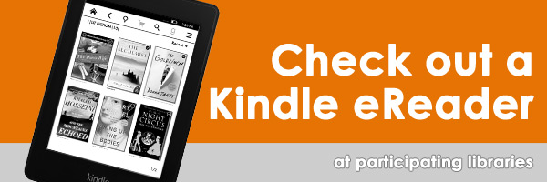
Have you walked into a library and wished you could check out more books than you could possibly carry? Check out a Kindle Paperwhite at participating libraries with a collection of titles that you are sure to enjoy. Each Kindle has been loaded with expert-selected books.
You don’t need internet access - all the books are pre-loaded onto the Kindle so you are ready to read.
Click on the library to view list of genres available.
Laptops in this kiosk can be checked out by customers with a LA County Library card in good standing. The laptop is due back in the kiosk before the library closes on the same day it is checked out.
If you do not return the laptop to the kiosk on the same day you check it out, your library account will be charged the full replacement cost of the laptop.
When you check out a laptop from this kiosk, you agree to use it within the library only. If you remove the laptop from the library, you may held criminally responsible for theft of the laptop and/or be charged the full replacement cost of the laptop.
You are responsible for the laptop and you agree that you will reimburse the LA County Library for any damages if the laptop is damaged, lost or stolen while checked out to you.
If you check out a laptop and it is damaged, you will give it to library staff immediately.
You must save to a removable storage device (such as a USB drive) since your work will not be saved to the laptop beyond your current checkout.
LA County Library will not be held responsible for any damage or loss of data or media due to any cause while you are using a laptop from this kiosk.
By using this laptop, you must adhere to the Library’s Acceptable Use Policy. Laptops are available at the following libraries:
With your LA County Library card, you can download or stream eBooks, eAudiobooks, magazines, music, and movies on your computer, tablet, or phone. It's free and you'll never have to worry about overdue fines!
You'll need a library card in good standing and a PIN to access most downloadable & streaming content.


The Consumer Health Information Program assists the public with medical research by providing information from reliable sources. Customers are invited to use the Norwalk Library collection which consists of books, magazines, videos, and online databases related to health topics. We also provide individualized research services.
Please be aware, we do not provide medical advice, nor are the materials we provide a substitute for a professional medical opinion.
We can provide you with information on topics such as:
Location: Norwalk Library
Phone: (562) 868-4003
Fax: (562) 868-4065
Email: chips@library.lacounty.gov
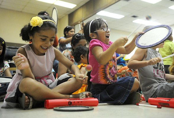
With the support of grants and corporate/community funding, the Library has established 48 Homework Centers. These Centers provide enhanced resources, computer technology, and homework helpers to support the educational needs of students in these communities.
Online Homework Help is also available on the Internet computers in all County libraries and from home computers during designated hours
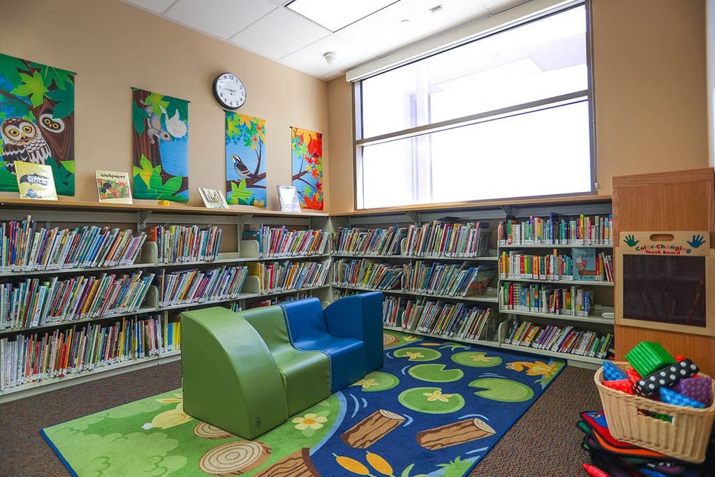
A Family Place Library is a center for early childhood information, parent education, emergent literacy, socialization, and family support. Family Place builds on the knowledge that good health, early learning, parent involvement, and supportive communities play a critical role in young children's growth and development. Each Family Place Library features the following core elements:
The first three years of a child's life lay the foundation for learning. Get the tools and resources you need to give your child the best possible start.
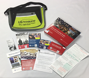
Citizenship-in-a-Bag contains:
Checkout or place a hold on a Citizenship-in-a-Bag toolkit.
Great! Thank you for sharing your photos with Catalina PhotoShare, a community history project of LA County Library.
Your photos will be reviewed and if they meet the criteria, they will be added to the Catalina PhotoShare online collection.
If you have any questions, please contact: digitalprojects@library.lacounty.gov
The Californiana Collection is in closed stacks at the Norwalk Library located at 12350 Imperial Hwy, Norwalk, CA 90650.
The Californiana Collection consists of over 24,000 books and over 200 magazine and newspaper titles in paper and on microfilm as well as a collection of state documents including state and county budgets. The goal of this collection is to present a complete picture of the history, culture, environment and artistic expression of the people of California and to some extent, the western United States.